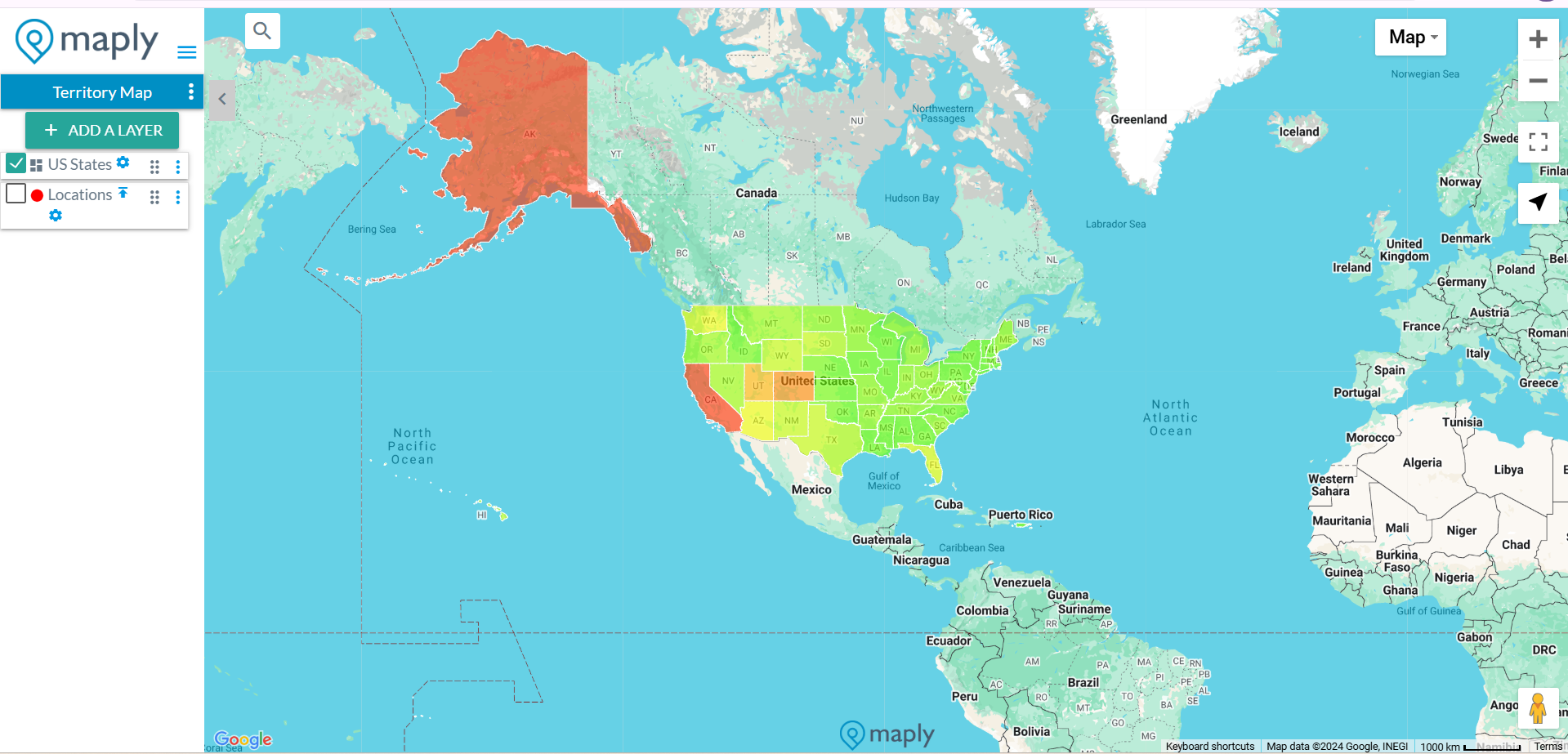
A territory map, also called choropleth map, filled map or thematic map, is a type of map in which areas (countries, states / provinces, counties, cities, districts, zip codes) are shaded or patterned in proportion to a measurement that represents an aggregate summary of a geographicac characteristic with each area, such as population density, or per-capita income.
Territory maps provide an easy way to visualize how a measurement varies across a geographic area or show the level of variability within a region.
A heat map is similar, but does not use a priori geographic area.
There are 2 ways to make a Territory map.
1. Create a territory heat map using location data from an existing location layer on the same map – Use this option when you want to see your location data in a territory map visualization.
2. Create a territory map by uploading data using a template – Use this option when you want to have more control on which territories / areas to display and what colors they should be filled with.


